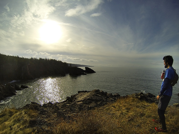
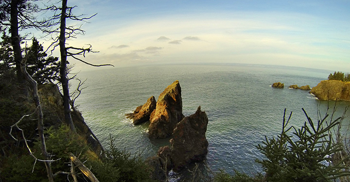
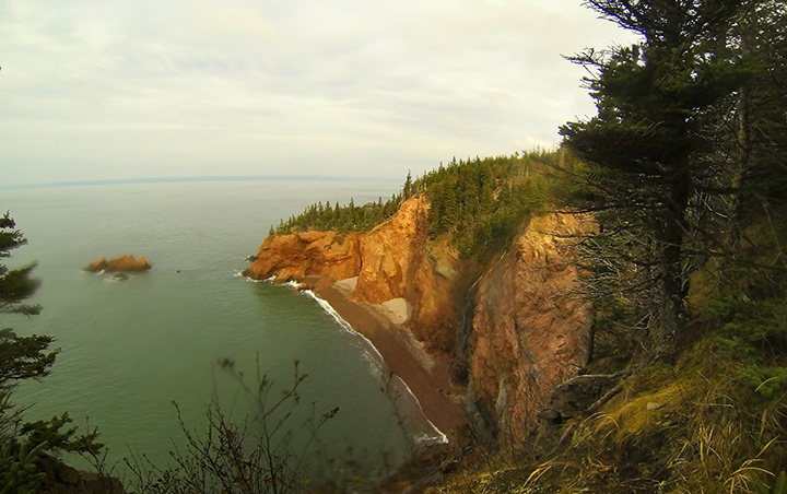
The weather was perfect, which is odd for mid November in the Maritimes. We happily, and I a little anxiously, grabbed our chance. Happy, because Tim Barry, and I would be running along some 20 miles of cliff ridden, wilderness coastline at the head of the Bay of FUndy. Anxious because it is a 29 mile loop through Cape Chignecto Provincial Park with 7350 feet of elevation gain. My longest up to this point was 18 miles in Acadia NP this past summer with ~5000 feet of gain. That felt great. Would this?
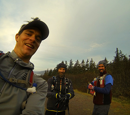
Shawn McCardle accompanied us for the first 4k and give us the ol' one, two on the loop as neither Tim nor I had run this here before. Before I get too into it, this was certainly one of the best runs of my life. The video speaks to that. The skinny? 8 hours, 50 minutes.
Here is the Cape Chignecto Provincial Park Site. But here is a link to a better map. It is actually the map from page 2 of the downloadable brochure on the park site.
As for details; We started at the Park Office as there was a gate there. We went in the off season and so didn't have to pay a fee but next time I may do it in season not only to avoid leaves on the trail (a pet peeve of mine) but also to help out with funding trail work and park upkeep.
As for details; We started at the Park Office as there was a gate there. We went in the off season and so didn't have to pay a fee but next time I may do it in season not only to avoid leaves on the trail (a pet peeve of mine) but also to help out with funding trail work and park upkeep.
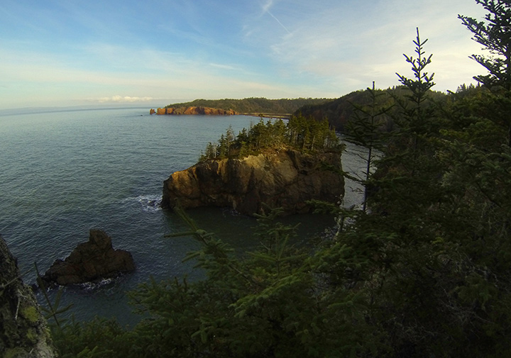
The trail itself was quite runnable I thought and well trodden. There were a few downed trees here and there and some of the smaller dirt/log bridges were rotting. The bridges over the bigger creeks were robust and in good condition. We lucked out with a sunny spell the whole week prior which made the trails mostly dry. We chose, and were encouraged by some heroes of mine, to start with the inland section an save the coast section for the reward as well as two steep, long hills for dessert near the end. There were numerous look-offs and view points that we took advantage of.
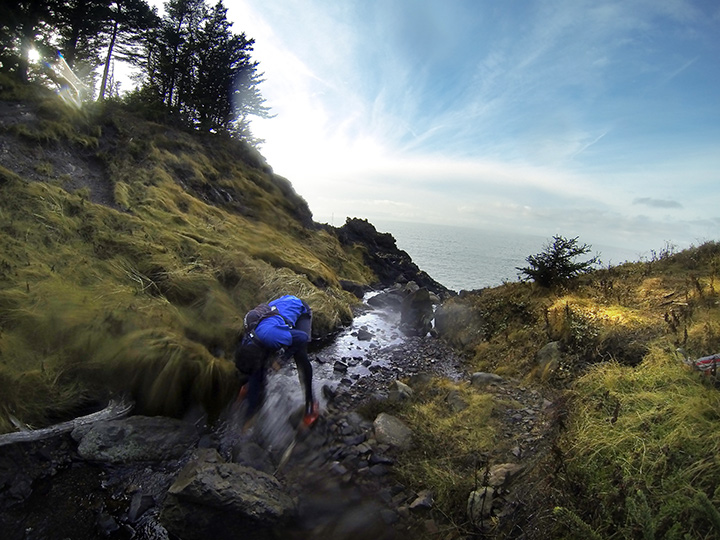
We used a Stari-Pen Freedom to treat our water as we dipped into steams as we needed. The Steri-Pen works with a UV LED to mangle micro organism DNA so they can't reproduce. You just swirl it around in your water for about 50 seconds per liter and off you go. No waiting like with Aqua Tabs, although we brought some in case things got ugly.
I lucked out with stomach issues this time as I had an S-Cap every hour and a Clif Bar every hour after the first hour and a half. About half way through, at Keyhole Brook, the outside of my left Knee started hurting on the downhills and got progressively worse so that I had to walk uncomfortably down the hills. Flats and uphills were fine. Weird because I was expecting old injuries to poke their ugly noses in my face again, but this was an entirely new one. That slowed me down quite a bit. Tim had some tummy troubles at about the same point after eating an Clif Shot that was Robotussin flavoured. That slowed him down a bit and so we were well matched. He got over his trouble before Refugee Cove though where I still had a few big hills to stumble down. Tim stuck with me on the down hills and we had yapped a good bit about kids, life and what we were going to eat as soon as we got back.
By the time we got to Mill Brook we were still in good spirits though. I had run out of Clif Bars and had 6 Clif Shots left. I went for vanilla as a safe bet for the taste buds. I ate 3 at once and Tim cautioned me that this was kooky, most people only have one every 20 minutes. I worried a little and then crested out at the top of Mill Brook and all was peachy.
We were supposed to run this loop with 6 or 8 other trail running buddies from NB, but life gave them another twist. We missed them on this run and know there will be many others in the years to come. We thought about you all and will share another one, another time. Maybe with even better weather.
Cheers.
 RSS Feed